

UAVs
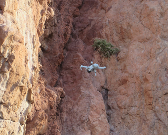
DJI Mavic Mini scanning an outcrop in southern Spain (photo ©S. Carena).
We have five quadcopter drones (one DJI Mavic Mini, one DJI Mini 2, two DJI Mini 3, one DJI Mini 4 Pro), suitable for scanning geologic outcrops at cm resolution. The drones are small and light enough that they can be easily carried around anywhere, but they are stable enough to be flown in moderately windy conditions (up to 30-40 km/h).
The drones allow us to create virtual outcrop models (VOMs) that can then be used in both teaching and research. VOMs can be included in virtual field trips, used as teaching tools to learn how to make structural measurements and plot them, or used to quickly and reliably collect data in inaccessible locations for various research projects. In addition, outcrops that may be modified or lost over time (quarry walls, unstable cliffs and slopes, road cuts, etc.) can be preserved and revisited.
Below is a movie made with the DJI Mavic Mini during a student-led field project in the Almeria region, southern Spain, by former geology MSc. student Apoorv Avasthy, and PhD student Mugabo Dusingizimana. About twenty outcrops were scanned at this location during the same project.
Last updated 14.06.2024